What Happened
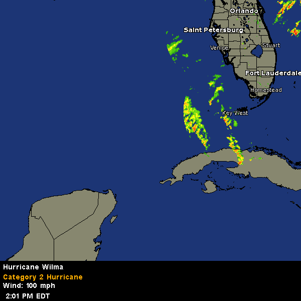
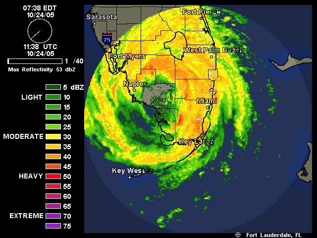
Hurricane Wilma came ashore on the west coast of Florida on the morning of October 24th 2005. It was rated as a catagory 3 hurricane when it first made landfall. Everyone on the Treasure Coast of Florida, where the webmaster lives, thought the storm would be nothing more than a big wind and rain event after crossing the state. We were wrong. Wilma was just as strong as both Hurricane Frances and Hurricane Jeanne from 2004. The only saving grace is that Wilma was moving as fast as she was and less than 12 hours after the first of her real winds were felt, we were outside picking up the pieces that fell.
We had lots of branches that did not fall last year come down this year. A lot of power lines fell and at my location we were without power for nearly 4 days (thank God we have a generator). One very wierd thing with this storm was that we were without land phone service as well. Even with the storms last year we still had some local phone service, but not with Wilma.